
Three Days in Algonquin
A three-day canoe trip through the lakes and portages of Algonquin Provincial Park.


Algonquin is Ontario’s oldest and most famous canoe country: thousands of glacial lakes stitched together by portage trails, moose on the shorelines, and loons calling all night. We spent three days paddling through it in mid-September from Canoe Lake as our access point.
🗺️ Plan this exact route yourself: we built an interactive Algonquin Planner — point-to-point directions over every lake, portage and access point in the park, with carry lengths, elevation change and uphill direction for each portage. The route from this trip is one of the built-in samples.
Logistics and Planning
Getting There: Algonquin sits about three hours from Toronto and four from Ottawa, reached mostly off Highway 60 which cuts through the southwest corner of the park. There are 29 official backcountry access points scattered along the highway and the park’s periphery — Smoke Lake, Canoe Lake, Rock Lake and Lake Opeongo being the busiest on the highway corridor. Your access point determines everything about the trip, so pick it when you plan the route, not after. For our trip, we chose a fairly easy option: renting from Algonquin Outfitters at Canoe Lake allowed us to do the trip without dealing with shuttles or boat deliveries.
Permits: Algonquin’s backcountry is permit-only. Interior permits are booked through Ontario Parks reservations. Popular access points sell out months ahead for summer weekends.
Route Planning: The park has over a lifetime’s worth of canoe routes connecting its lakes. Algonquin paddling can require many portages (carries), and can be a big drag if planned poorly. The indispensable tool is the official Canoe Routes Map (published by the Friends of Algonquin Park, free online) with its portage tables listing every portage’s length, elevation change, and condition. Paddle Planner is another popular interactive option — and a special shout-out to Maps by Jeff, which is a great map and what we actually used the whole trip. Since then we built our own: the Algonquin Planner routes you between any two points over the whole portage network — try the Canoe Lake access → Otterslide sample.

Our route was the beginner classic out of Canoe Lake: up through the Joe Lake chain to Tom Thomson Lake for night one, over to Burnt Island Lake for night two, then home through Joe Lake on the last day. About 24 km of paddling with five portages totalling about 2.5 km — every carry well-travelled and beginner-appropriate, with the longest (Tom Thomson to Burnt Island) at ~1.4 km.
Campsites: Campsites on Algonquin lakes are first-come, first-served — the permit gets you a lake, but not a specific site. Arrive early enough in the day to grab a good site, and have a fallback lake in mind.
When to go: Algonquin’s paddling season runs from ice-out in May to freeze-up in late October. July and August are warmest and busiest; September brings cooler nights, fall colours starting to turn, and far fewer people on the lakes. We went in mid-September, when the fall colours were starting to show, but still before the peak.
What to pack: A canoe trip packs differently than a backpacking trip: I found it pretty crazy as a backpacker that weight matters way less, but it was important to still pack things well to simplify portage logistics. Everything lives in a barrel pack or dry bags that get carried over portages.
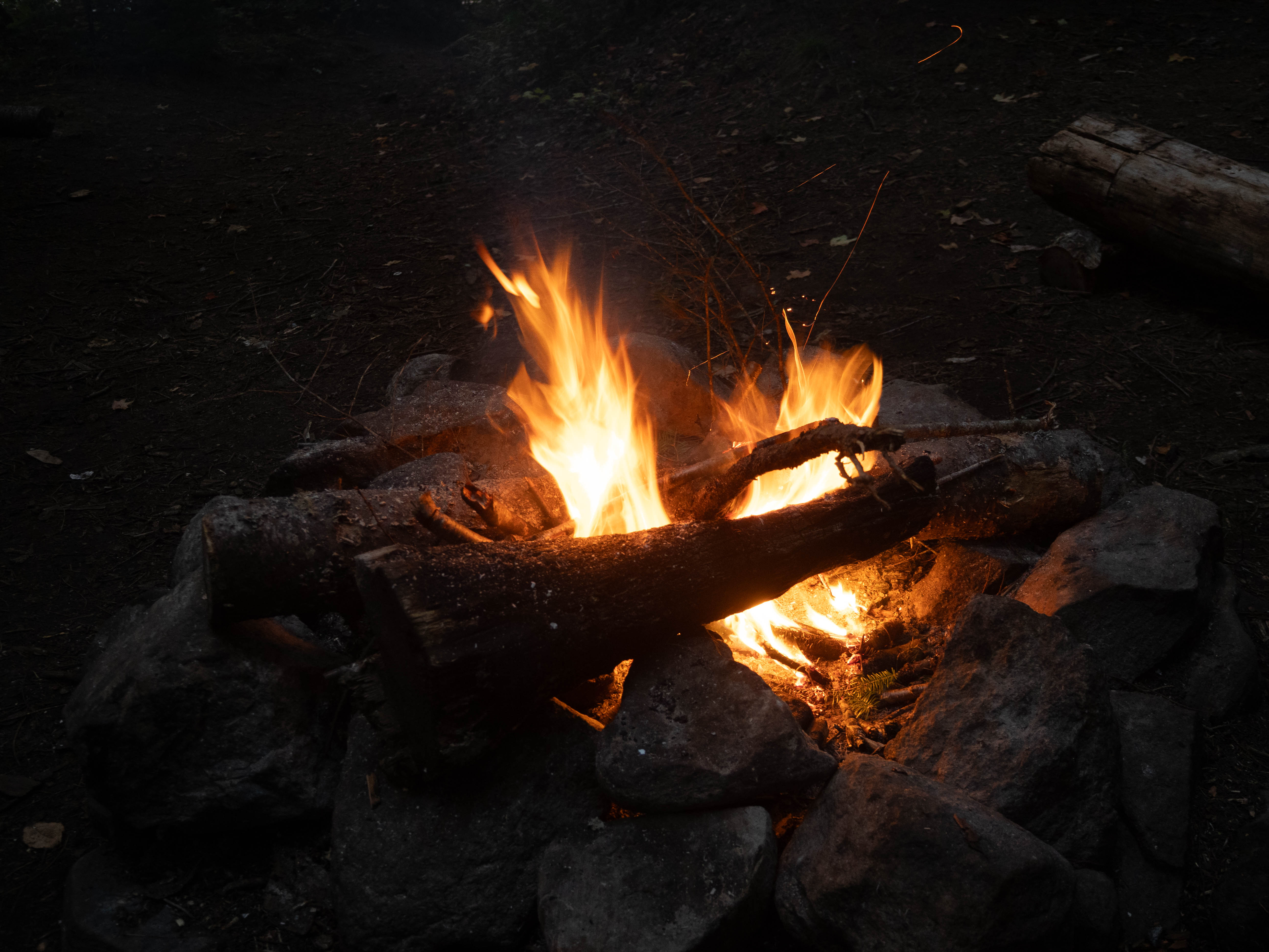
We brought our usual backcountry kit — tent, sleeping bags, pads, stove — plus the rental outfitter provided us PFDs (required on the water), paddles, and bailers. We also had a rope for bear hangs, which are required at every site for food storage. Obviously, water is plentiful at every lake. Campfires are allowed on most interior sites but fire bans can happen through the season.
Our Itinerary:
We paddled into Algonquin for three days in mid-September 2026 — the perfect time to avoid swarms of black flies and hot summer weather. Since this was our first canoe camping trip, we wanted something beginner friendly: not too many carries, a different lake every night, and no big open-water crossings. Renting from the outfitter right at the Canoe Lake access point made the logistics trivial — rentals run about CAD $50–70 per day and we booked ahead.
Before starting the trip, we spoke to the park office, who told us that some of the routes we had in mind were infeasible due to low water levels, and that there was elevated bear activity around Tom Thomson Lake — so we were asked to be extra careful about food storage.
The plan: rent at Canoe Lake, paddle to Tom Thomson Lake for night one, make our way to Burnt Island Lake for night two, then loop back to Canoe Lake through the Joe chain on the last day.
Day 1:
Long day driving up to the park from Toronto. We made it to Canoe Lake around 2pm, quickly sorted out our rentals, and set out on the lake. We had decent weather and only a faint wind.
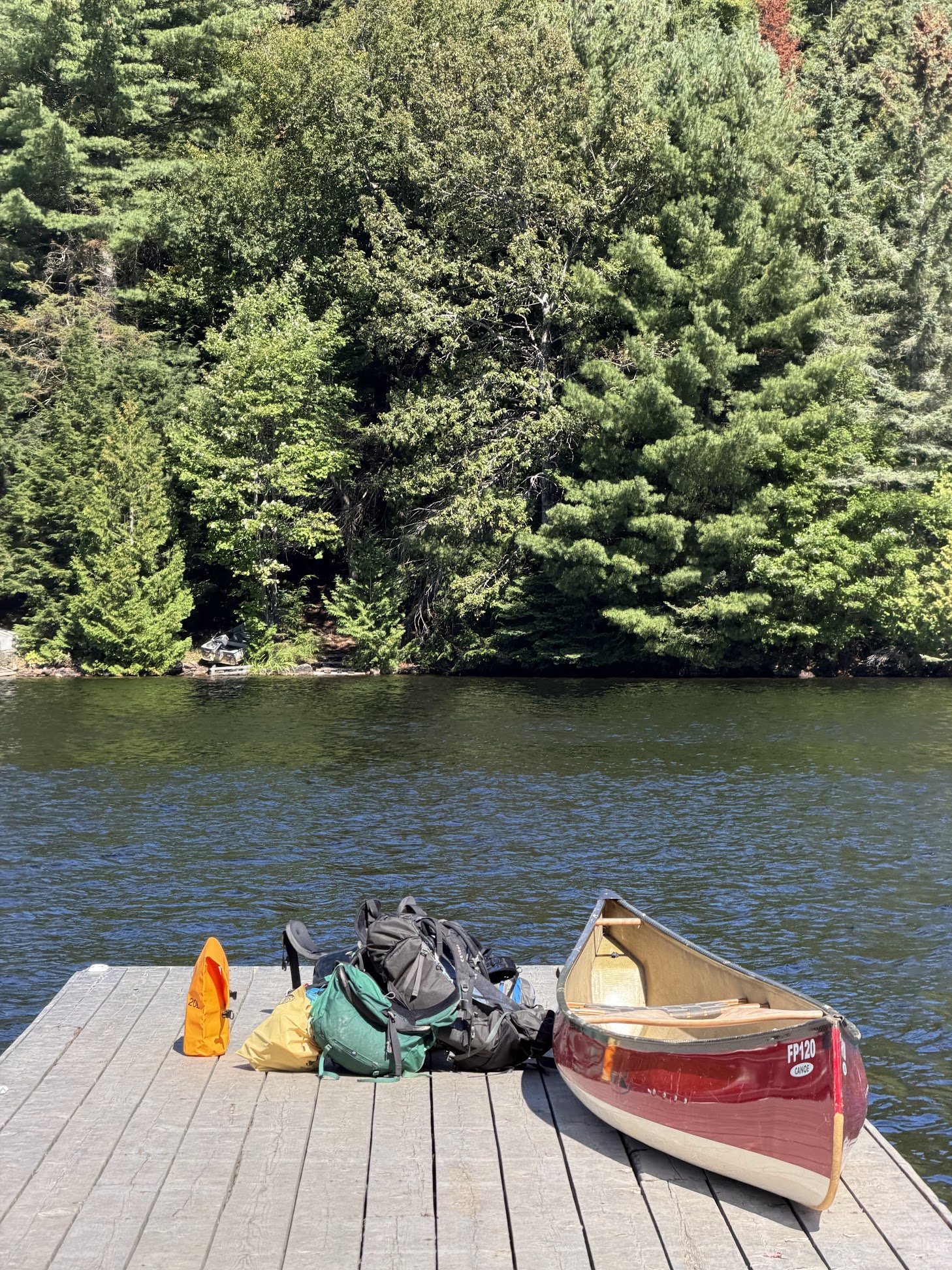
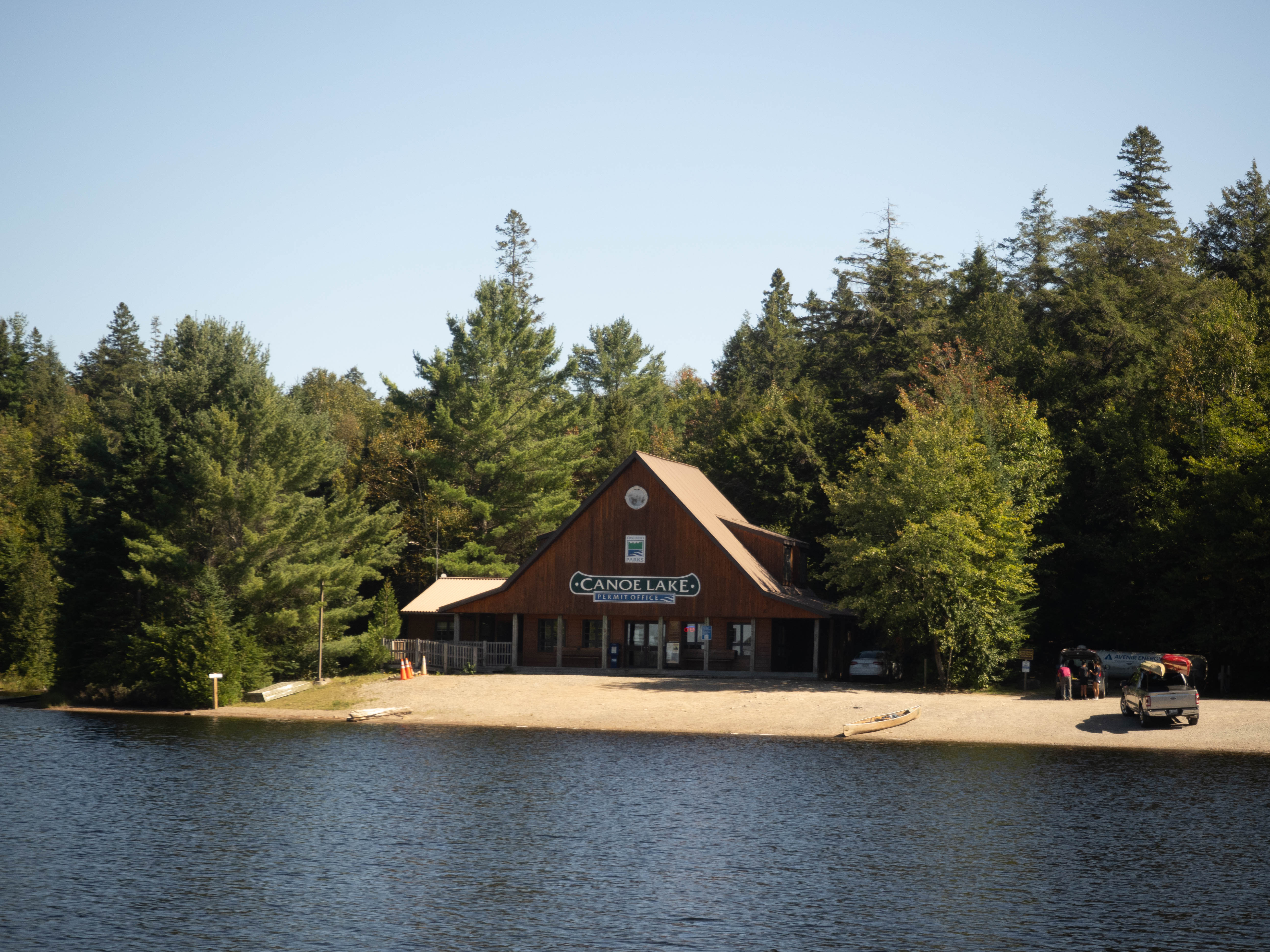
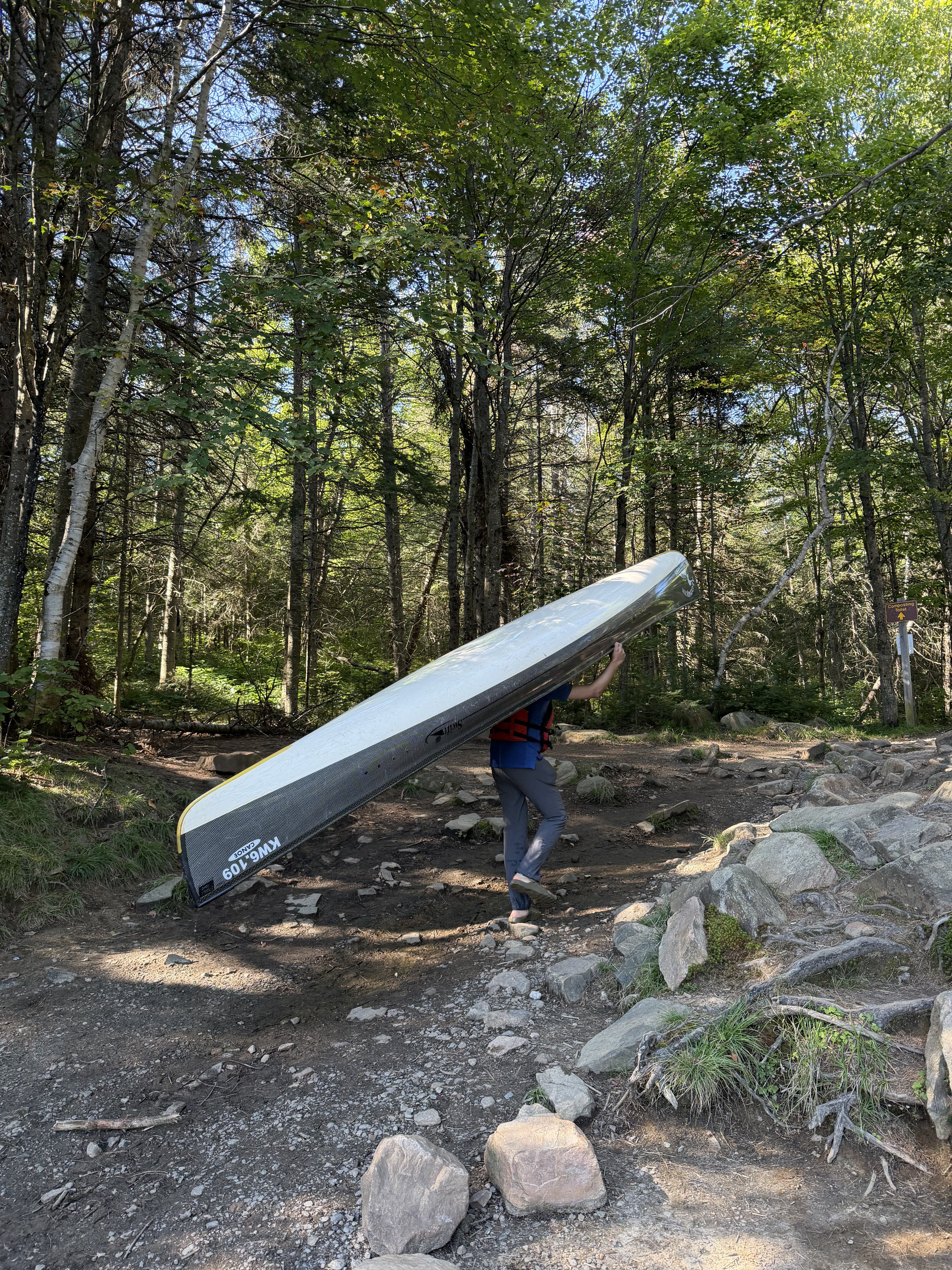
My first-ever portage came right away, around the dam between Canoe Lake and Joe Lake. This is probably one of the most-used portages in the park, so we hustled to leave room for other parties loading and unloading. Portaging wasn’t as bad as I’d feared! Even though portage carts aren’t used in Algonquin, carrying a canoe on my shoulders felt easier than the backpacking I usually do on the west coast.

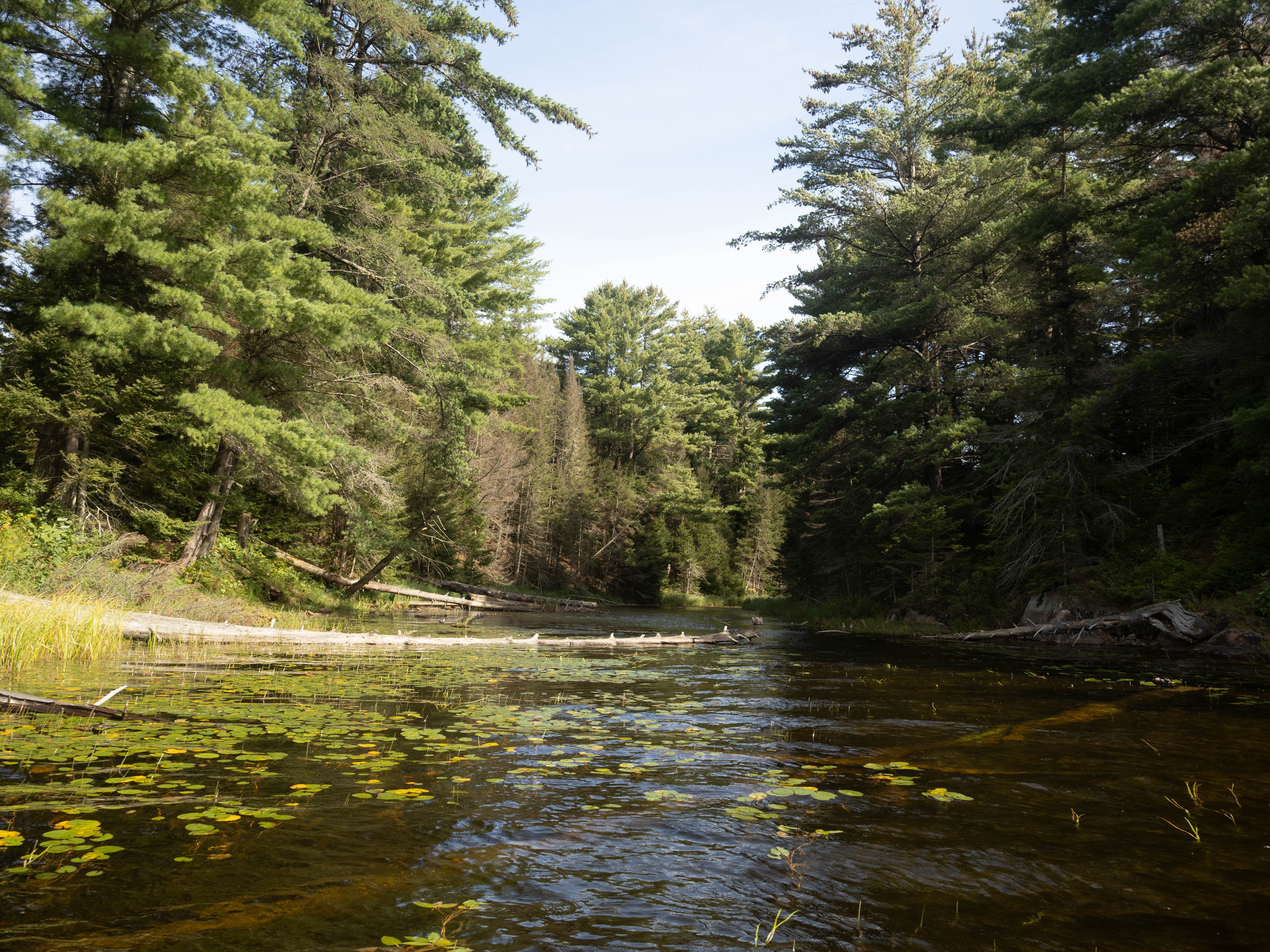
On Joe Lake, on our way toward Tom Thomson Lake — through the chain of Tepee, Fawn and Little Doe lakes — I loved the lilypads and seagrass in the calm, shallow water of the coves. We even crossed a beaver dam along the way.
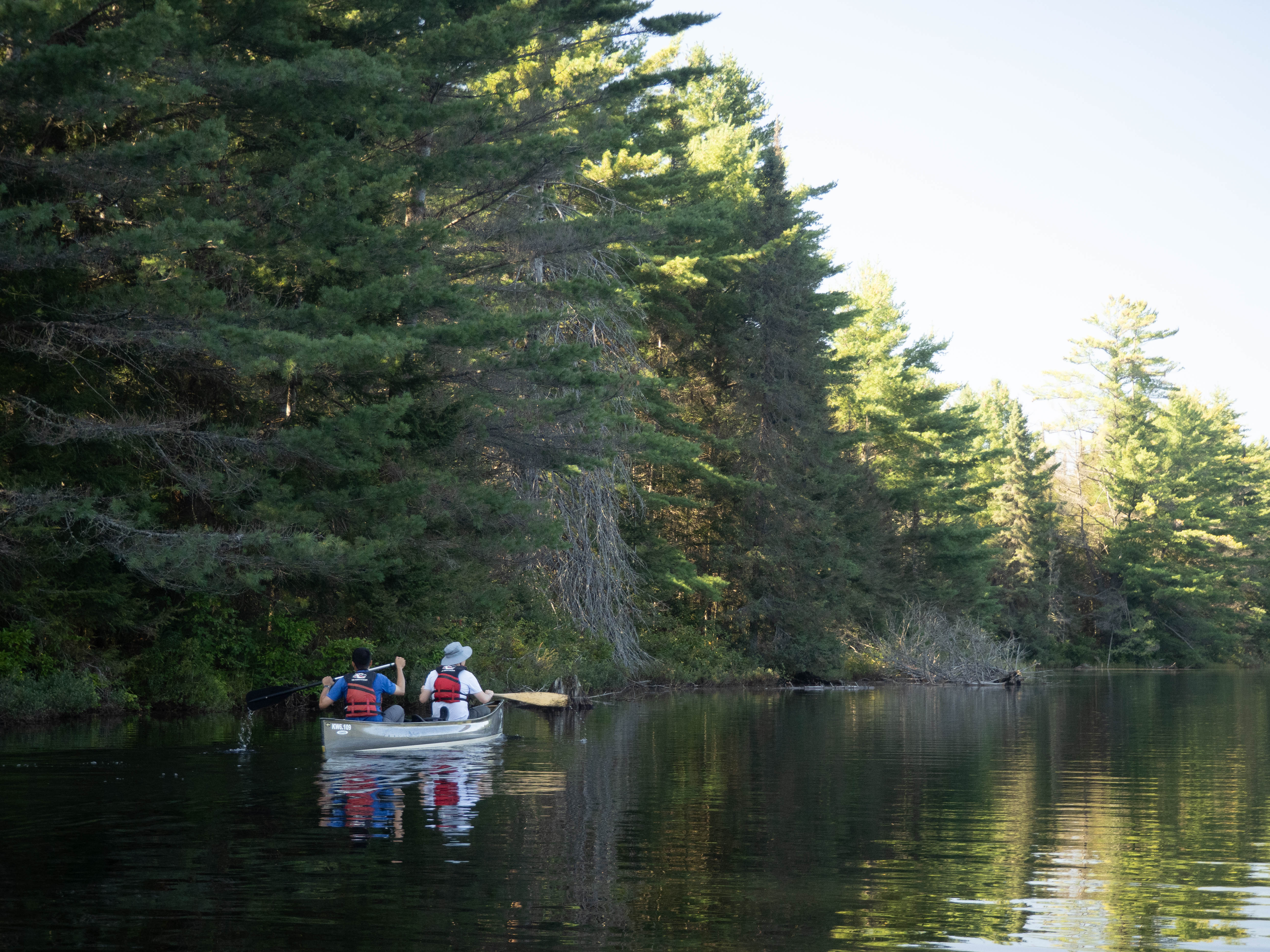
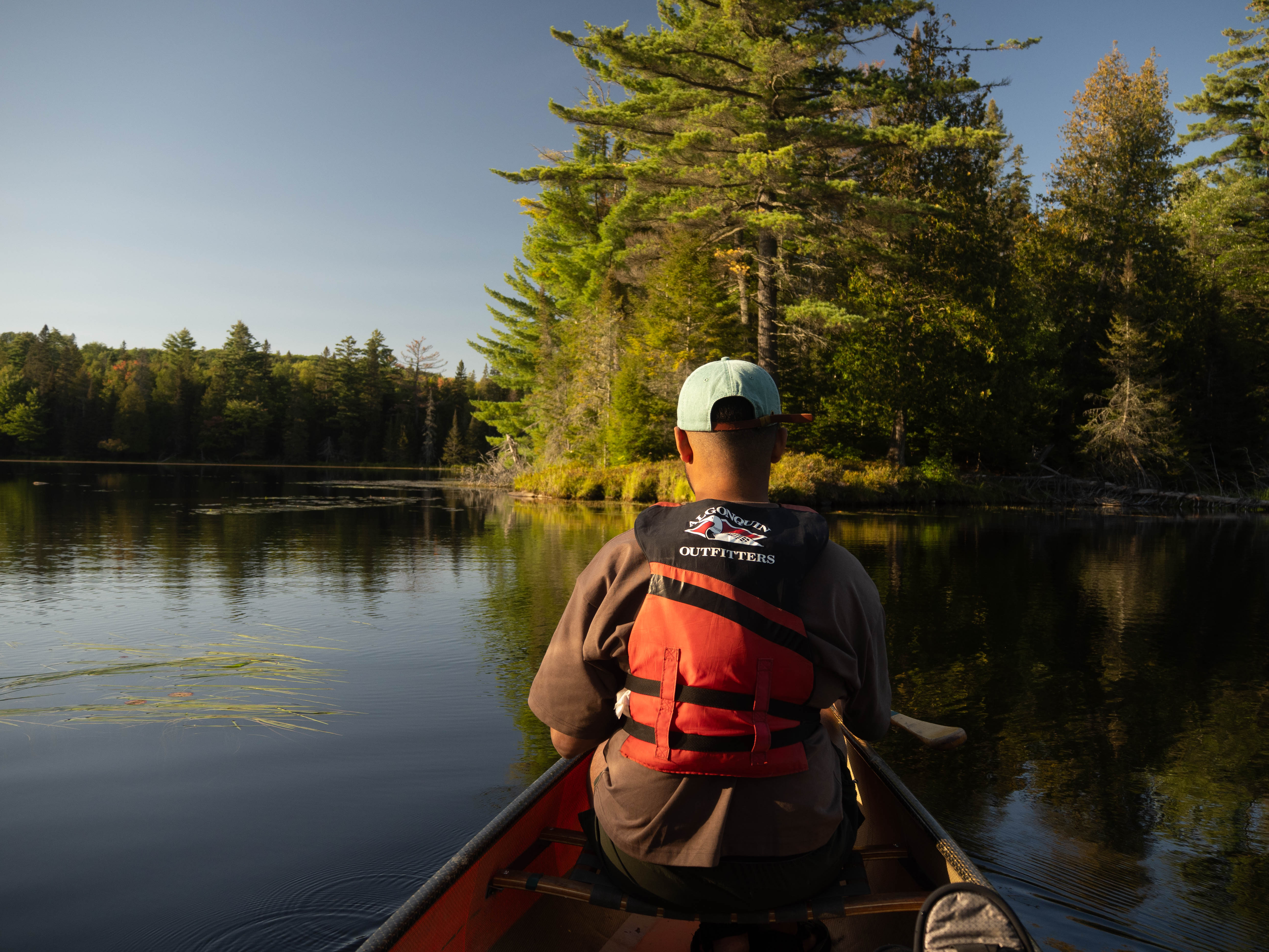
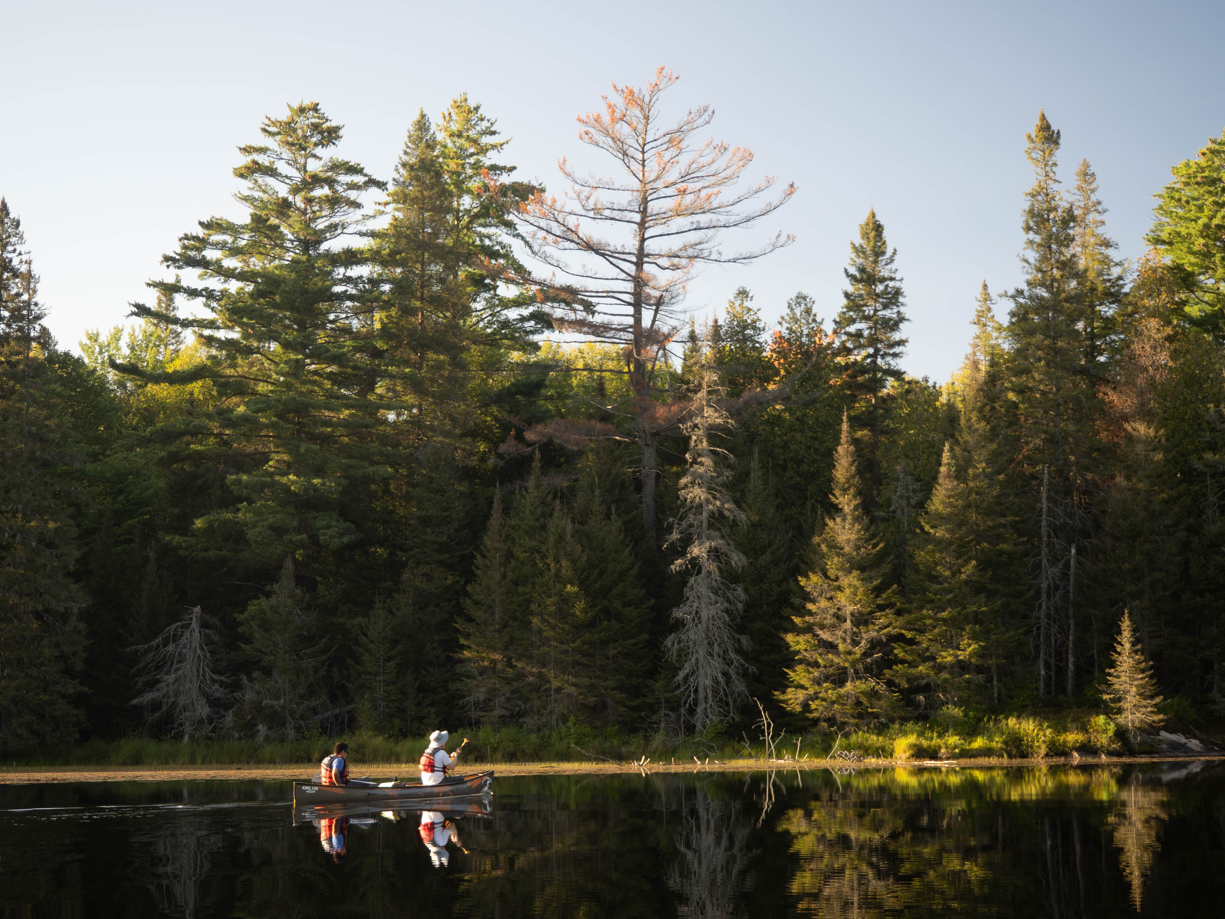
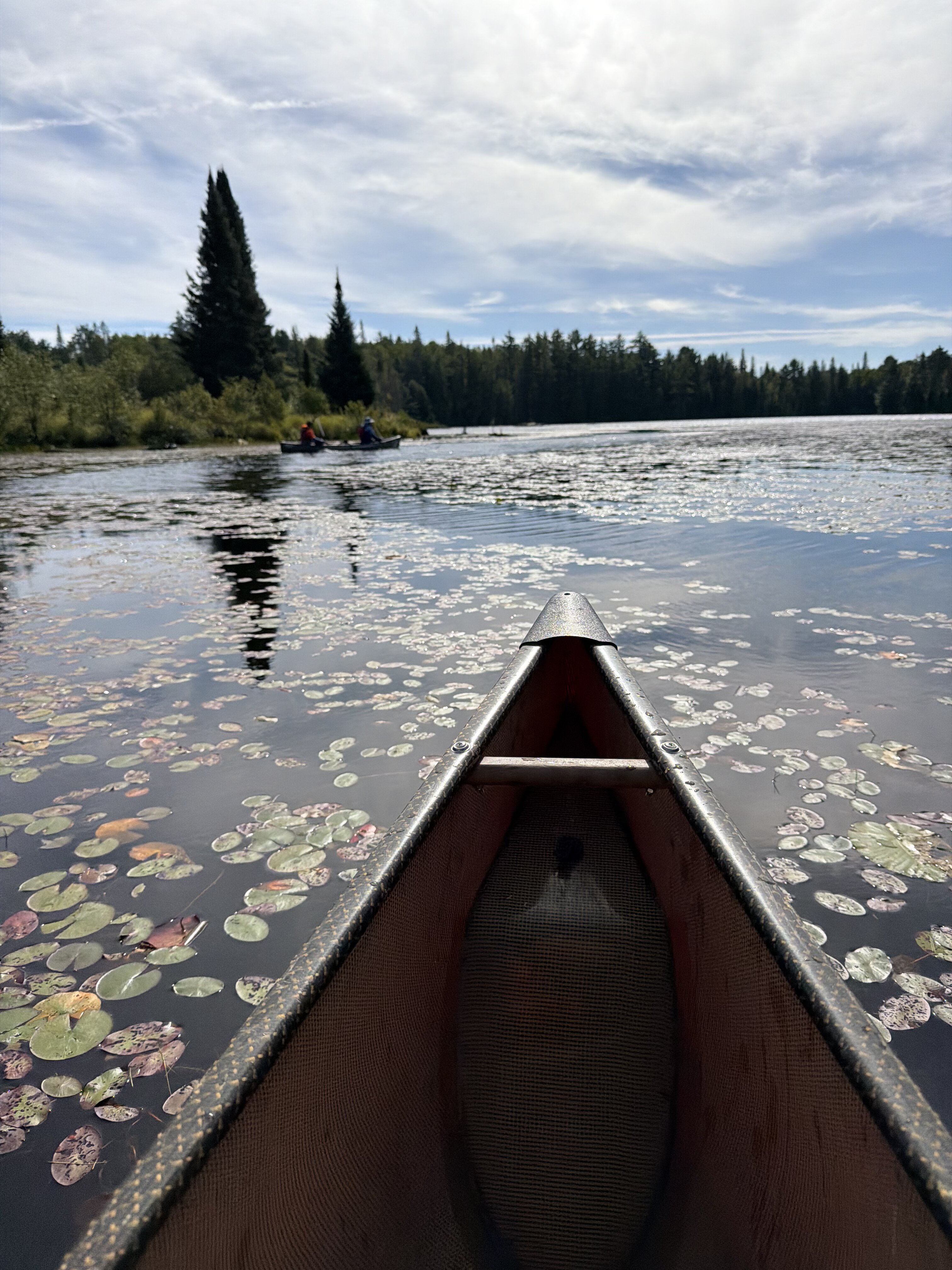

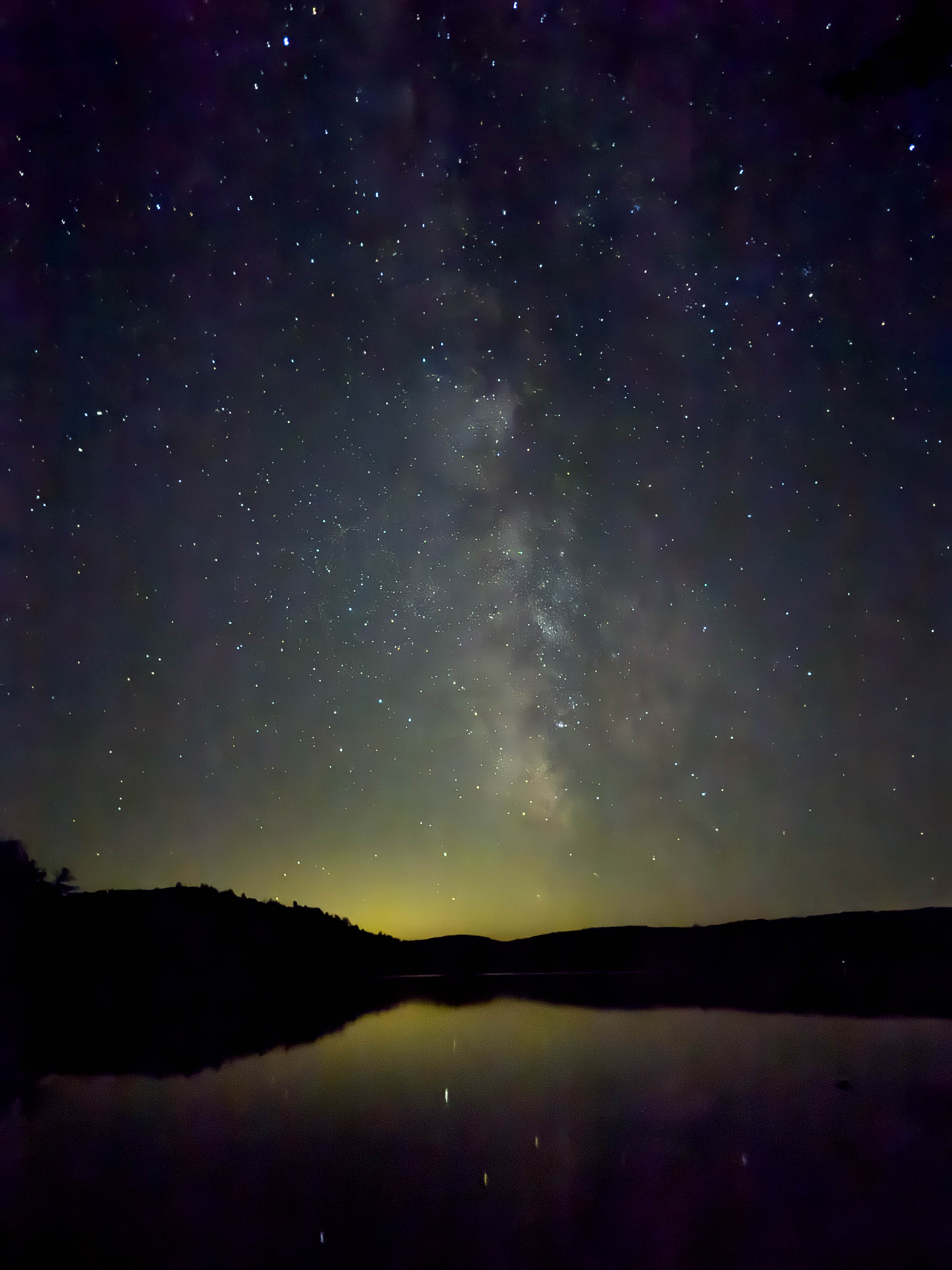
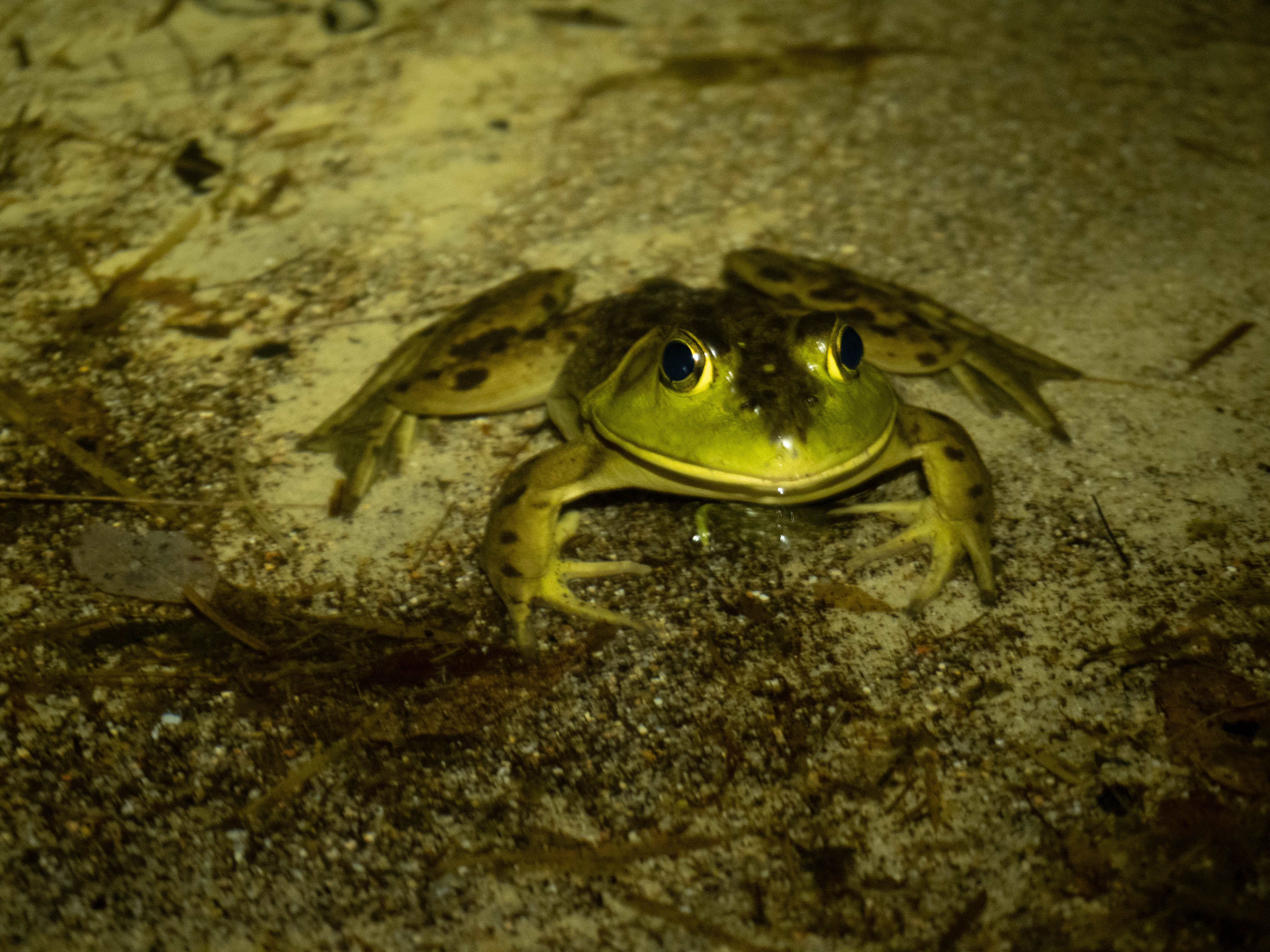
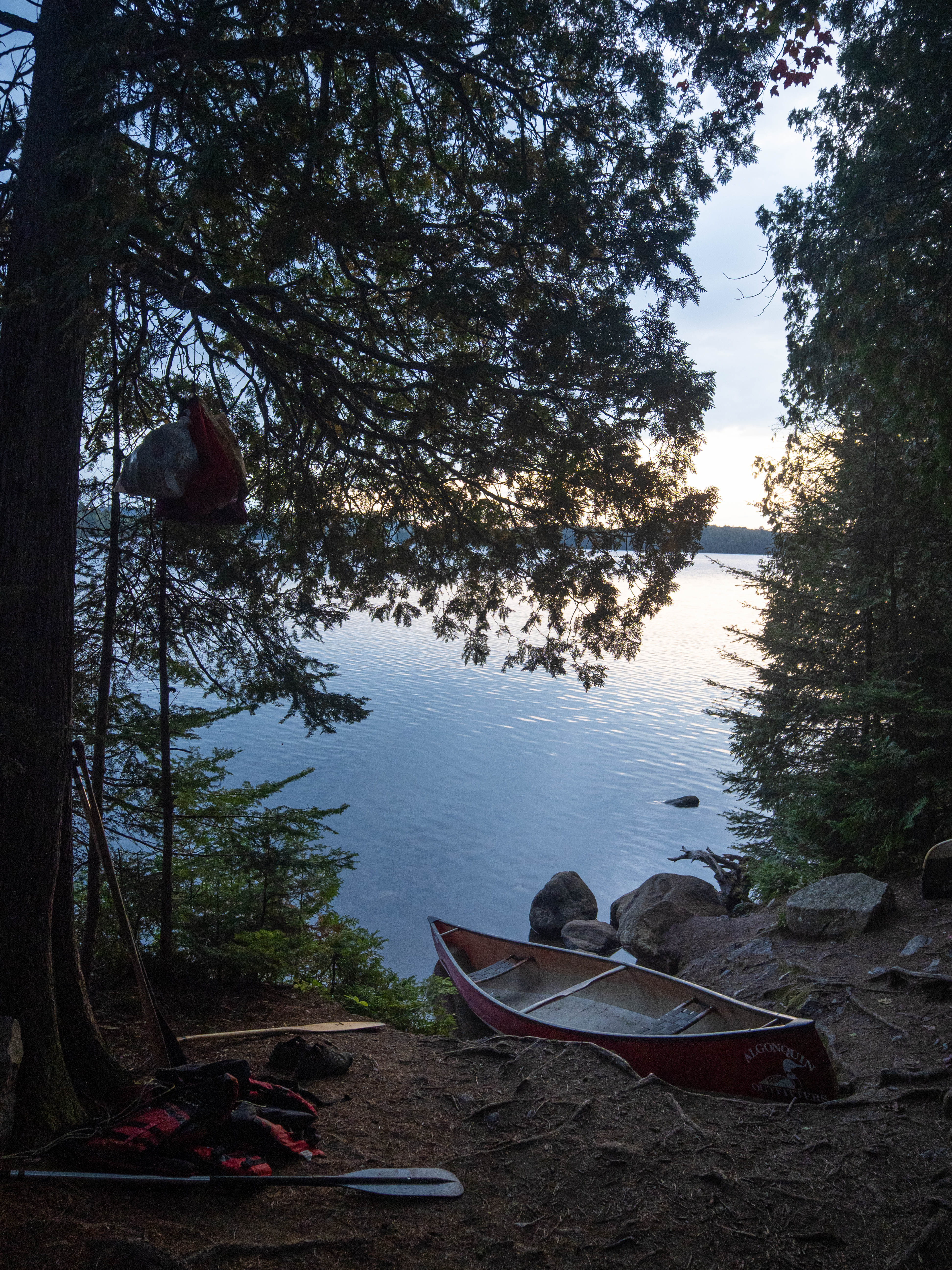
We reached Tom Thomson Lake around 6pm and started worrying about finding a good campsite so late in the day. Luckily, some very helpful campers pointed us to a great site (Site #5) that was still unoccupied. We set up camp and had a hearty dinner. Since it was a new moon, the stargazing was excellent — we spotted some night wildlife (frogs), and heard loons calling across the lake after dark.
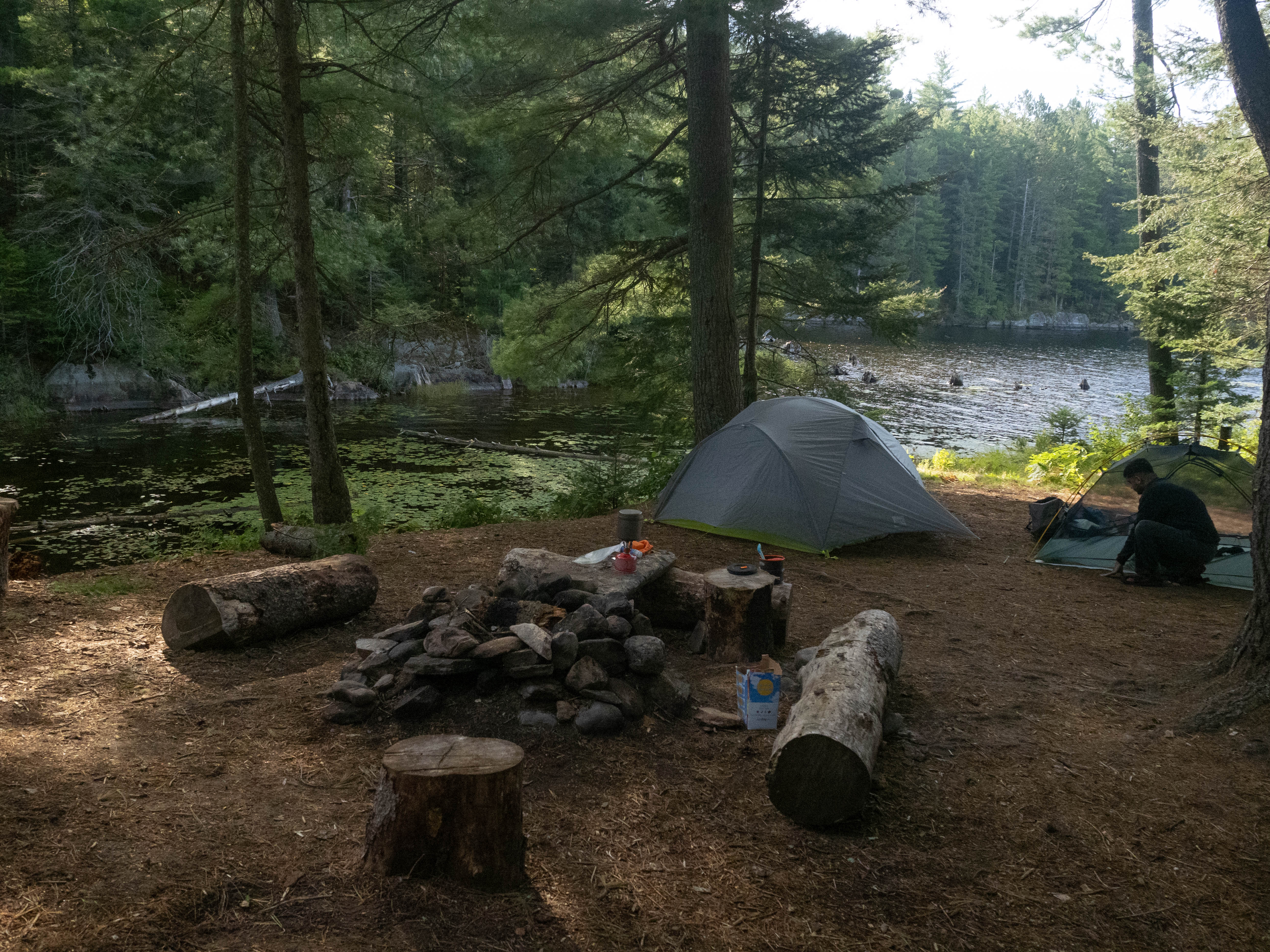
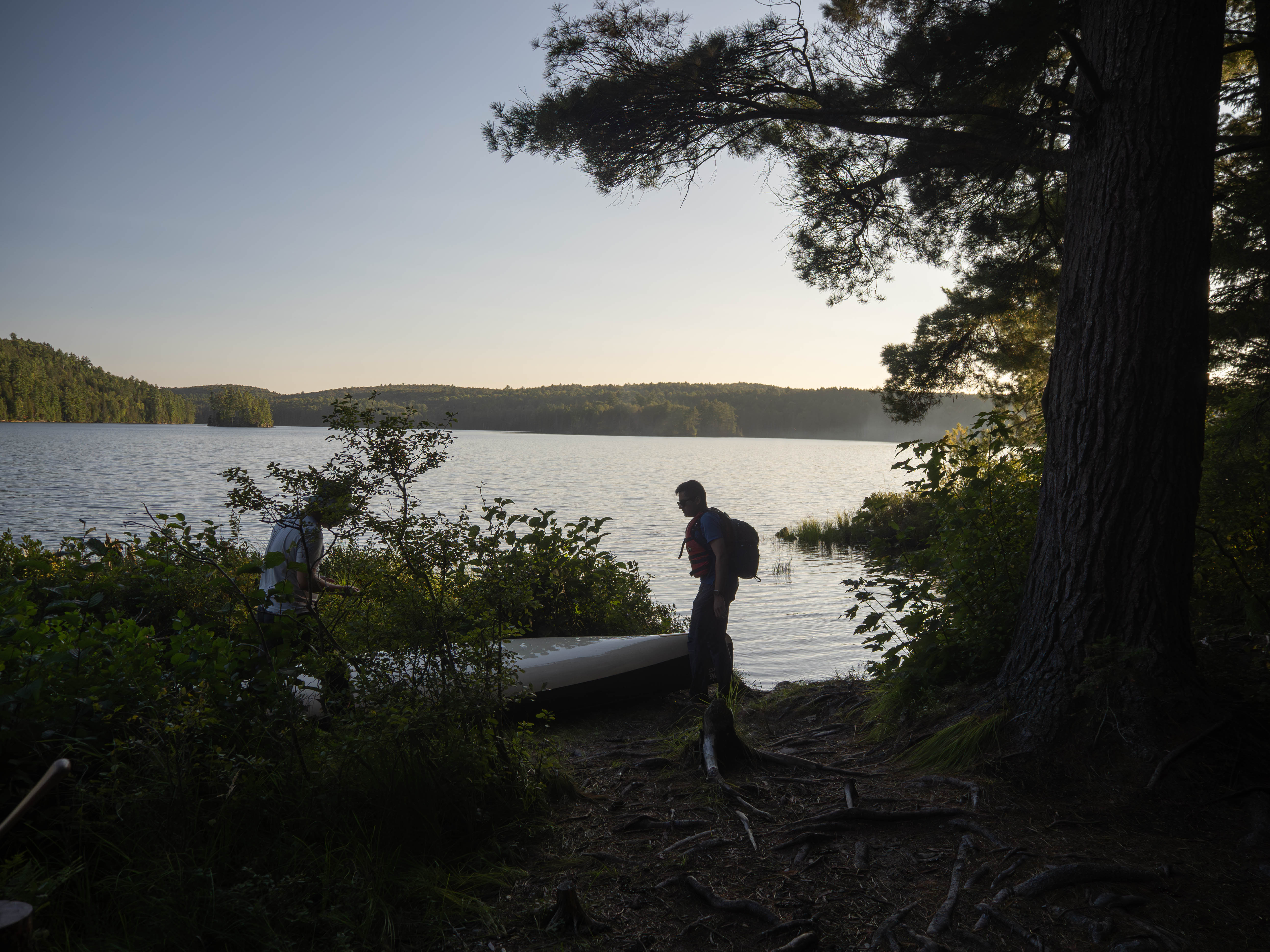
Day 2: The big day. We hit a small snag right from the start: the beaver dam we’d crossed yesterday had grown overnight — the beavers must have been hard at work while we slept. This time we had to get out of the canoe onto the dam and push the boat over the shallow part.

We didn’t know it when we planned the trip, but the famous Muskoka River X race was running through the park that day. All morning we kept crossing paths with the racing teams as they sped past us in their lightweight canoes and kayaks!

Instead of a long portage, there was a northern alternative — eight shorter portages via Sunbeam Lake — but the ranger at the Canoe Lake permit office had warned us about low water levels and recommended doing the single long portage instead. So from Tom Thomson’s south arm we took the trip’s longest carry (~1.4 km) into the south arm of Burnt Island Lake, then paddled north a few kilometres to find our site. With a full load of camping gear, that carry is a real workout — we double-carried (one person takes the canoe, the other takes the heavier pack, then swap) rather than trying to haul everything in one pass. It took a rather long time, with many breaks and some backtracking.
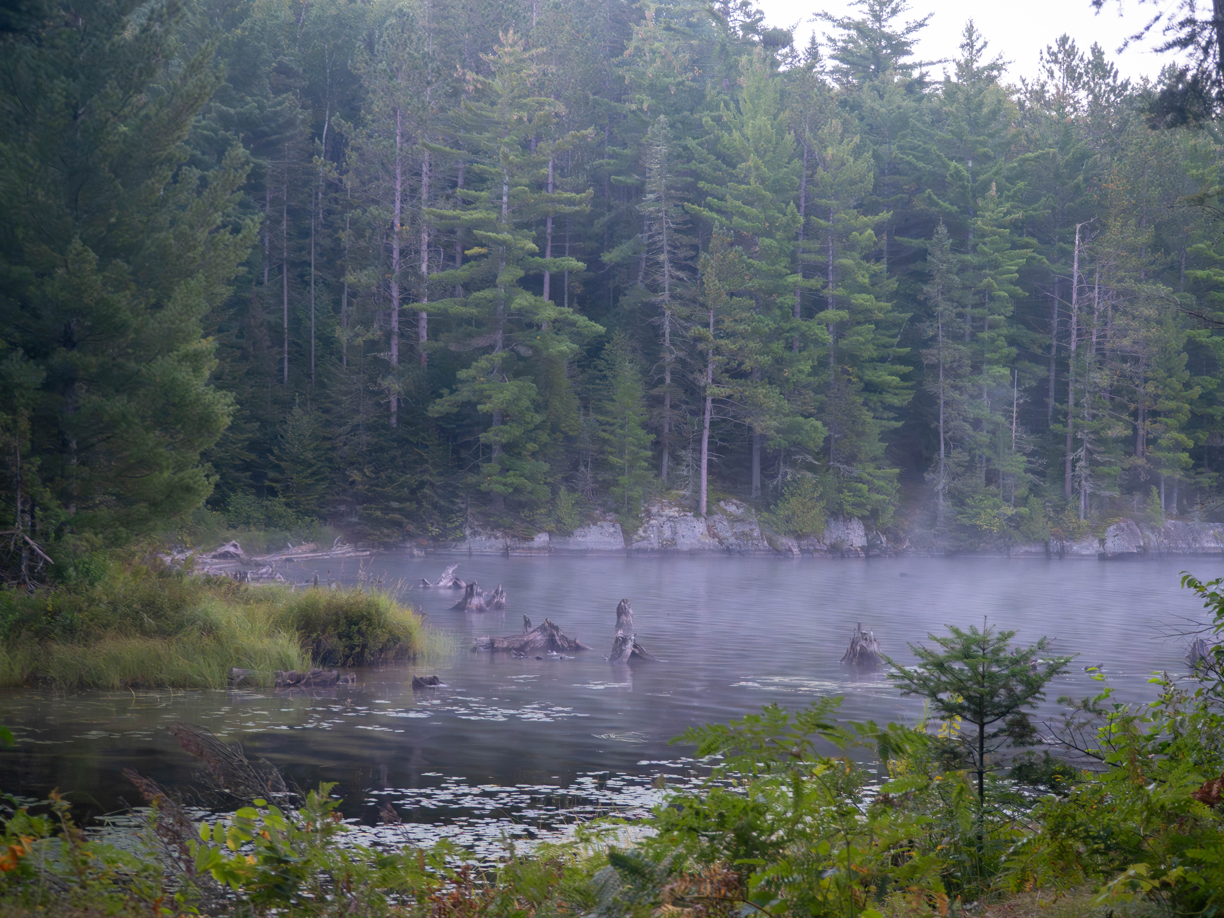
Burnt Island Lake is the payoff lake on this route: big, beautiful, dotted with islands and sandy beaches, and regularly called one of the prettiest lakes in the park. It’s a popular basecamp lake — people set up for two or three nights and day-trip from it — and in September we had plenty of site options.

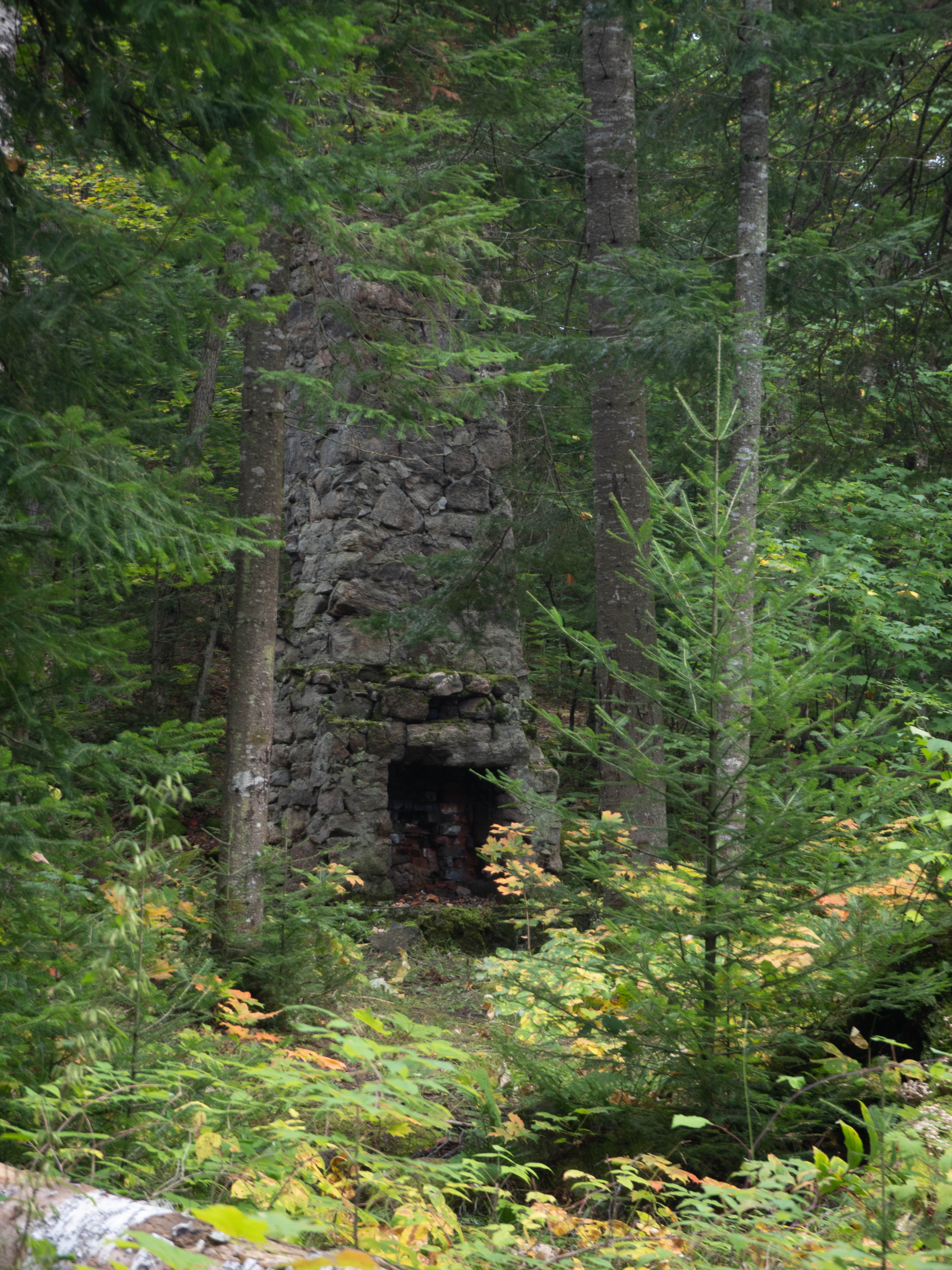
We took what might be the spookiest site on the lake: site 35, which sits right on the ruins of Camp Minnesing — one of three wilderness lodges the Grand Trunk Railway built in Algonquin’s early-tourism era. Minnesing opened in 1912, hosting guests who arrived by train and were paddled in for a luxury fishing holiday. It ran into the 1950s; today only the ruins remain, and we pitched our tent right beside the old stone smokestacks of the guest cabins.
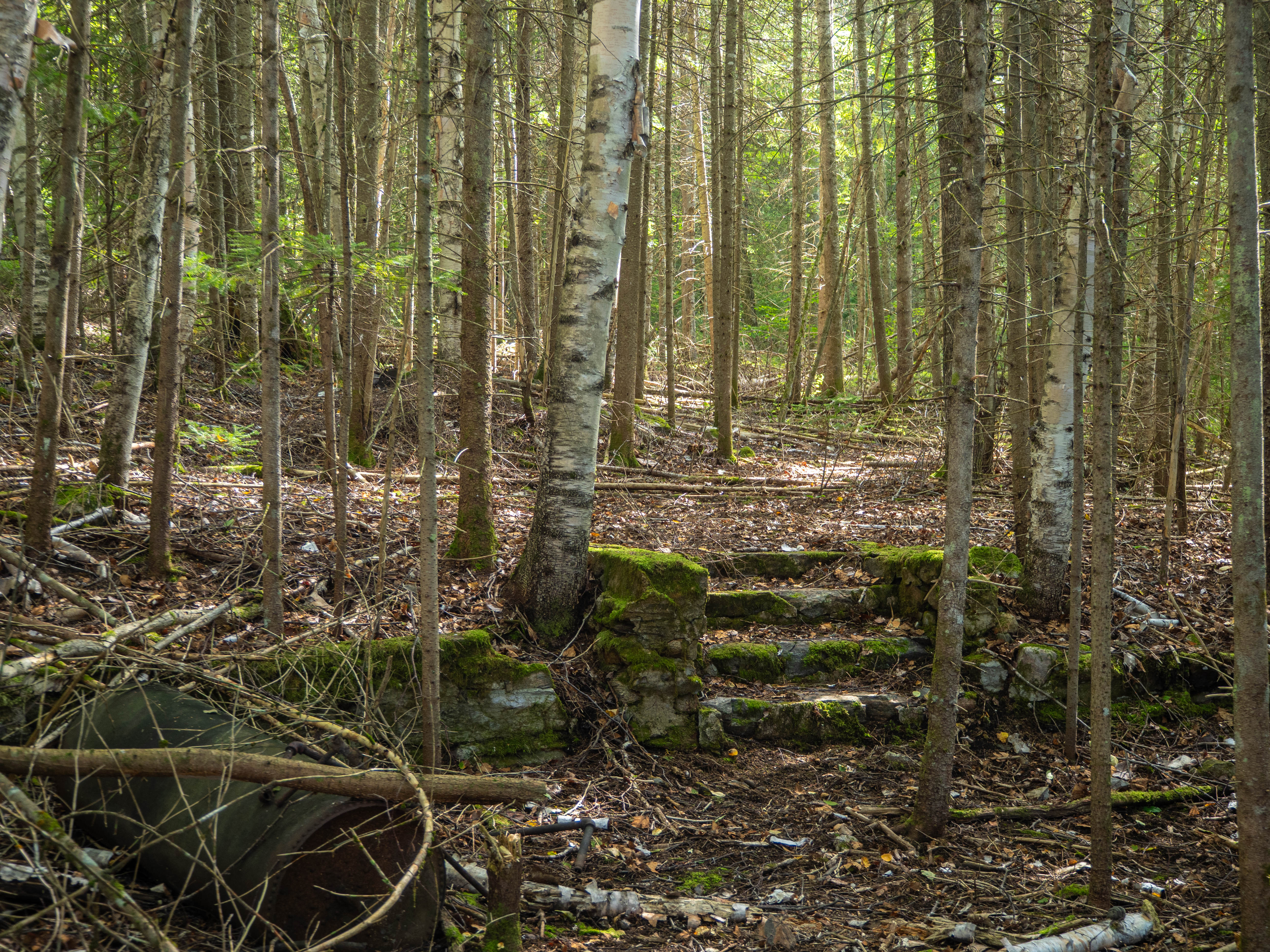
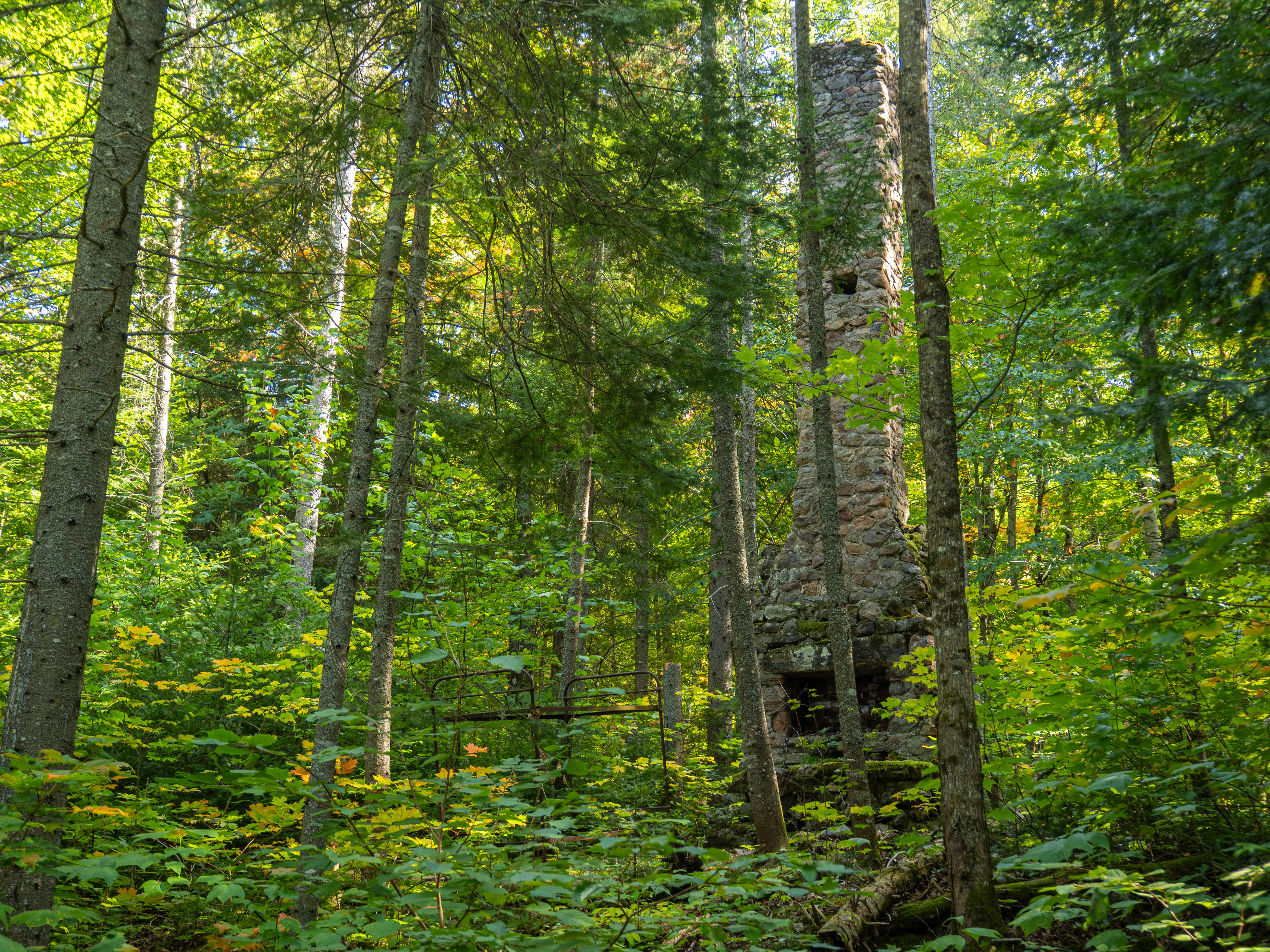
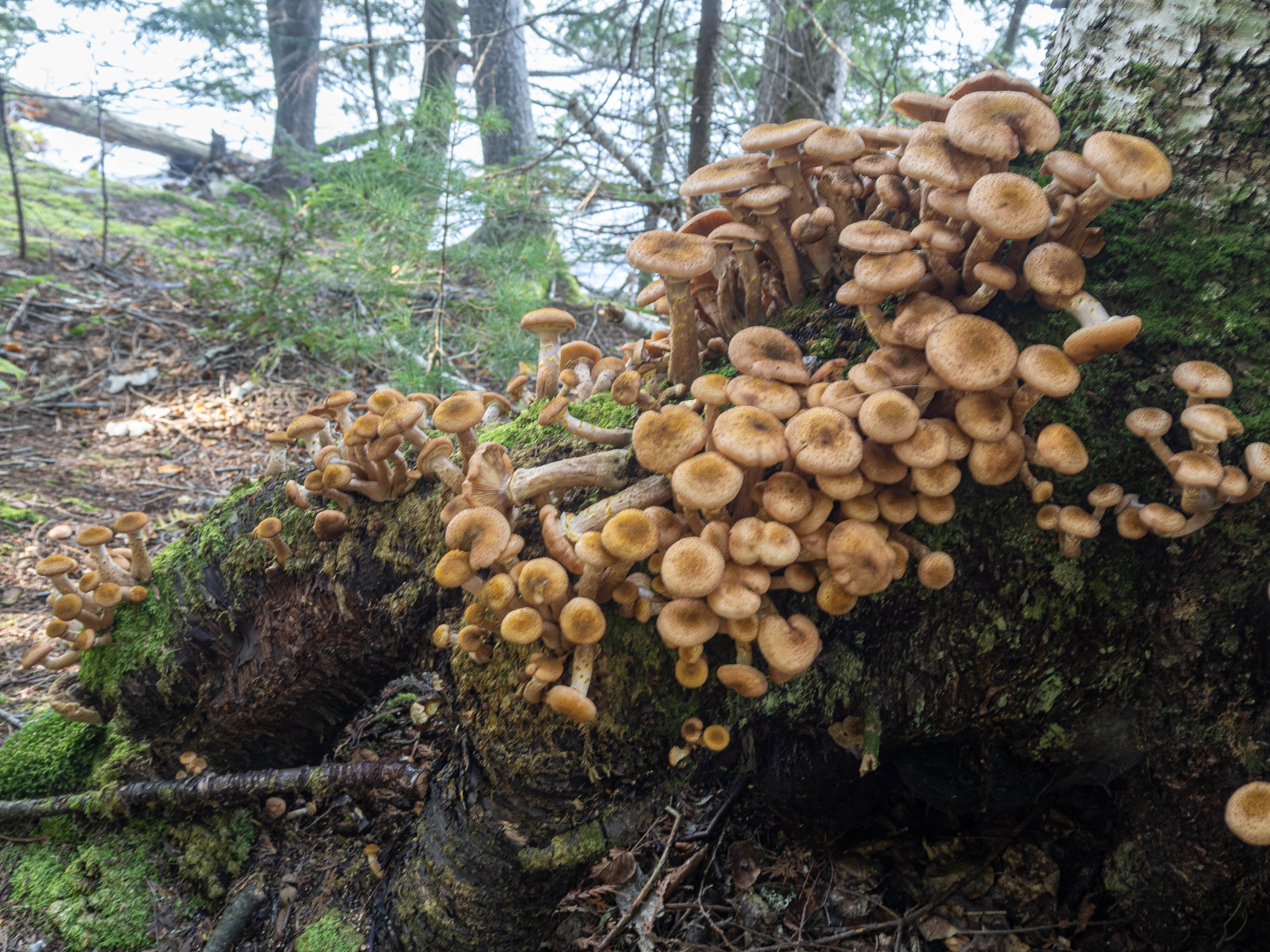
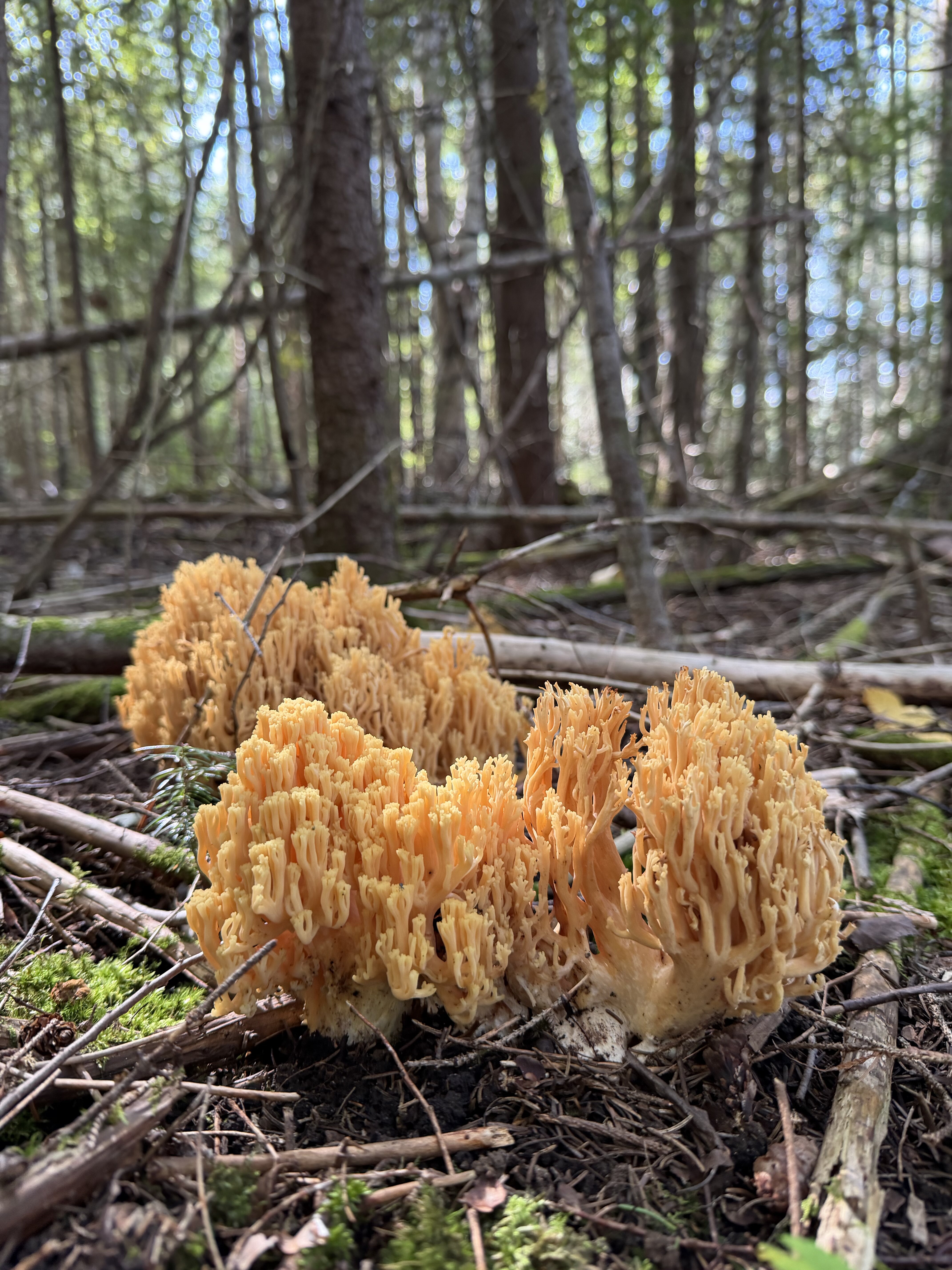
We explored this pretty unique campsite and spotted a few more smokestacks and holes in the ground — old water tanks, or wine cellars? Faint trails led out of the campground; we didn’t find anything interesting at the end of them, but we did spot some very interesting mushrooms along the way.

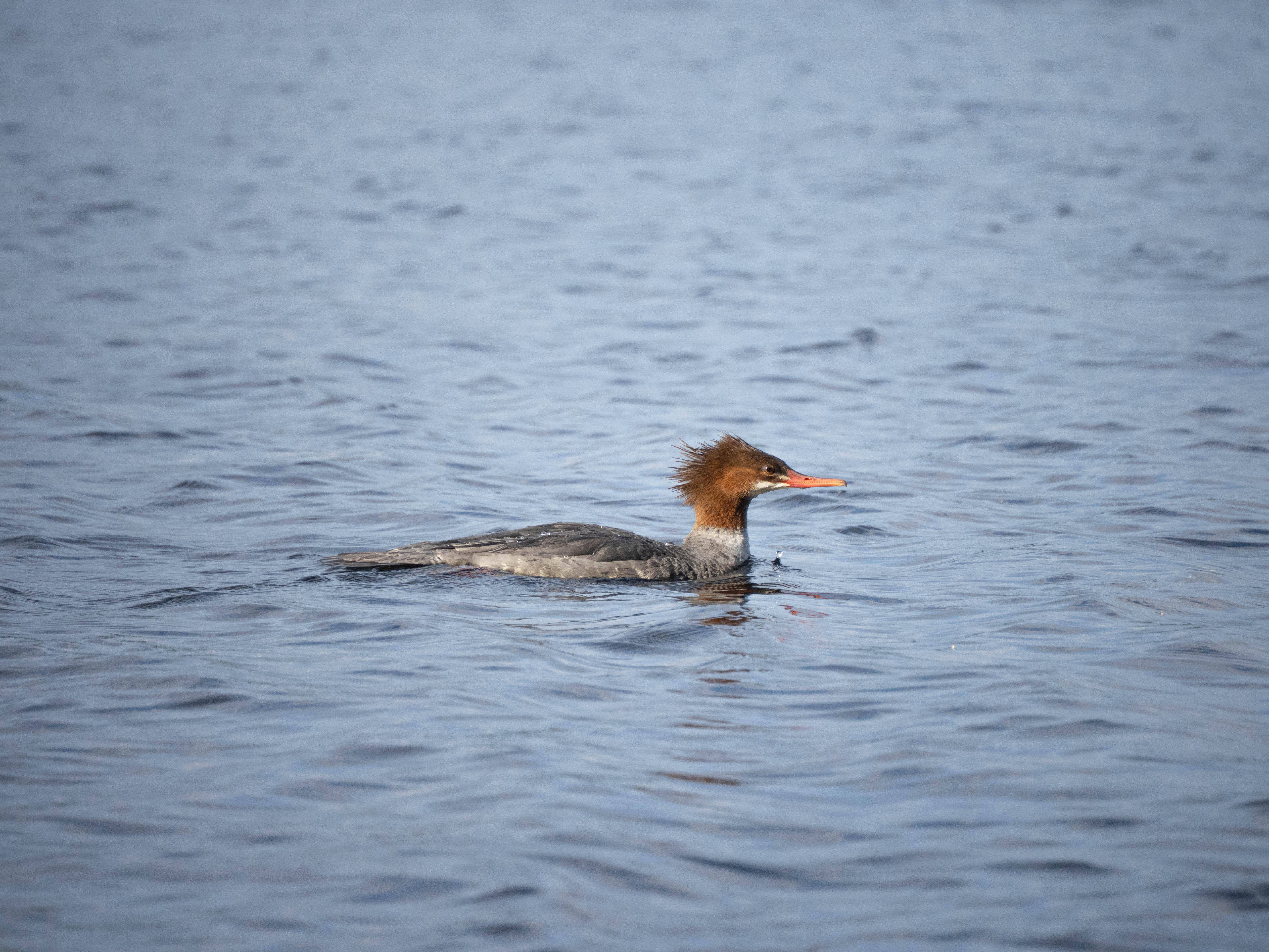
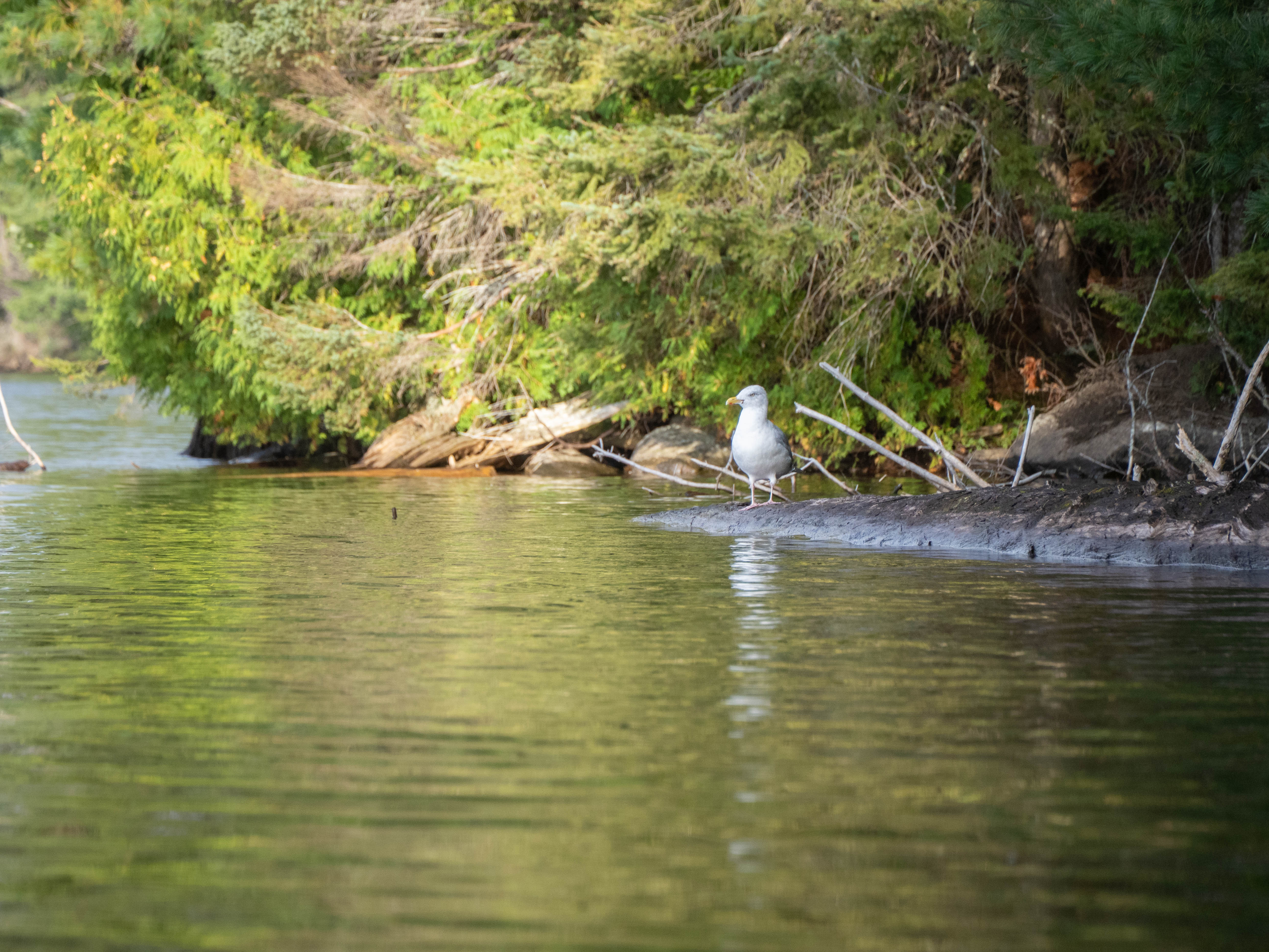
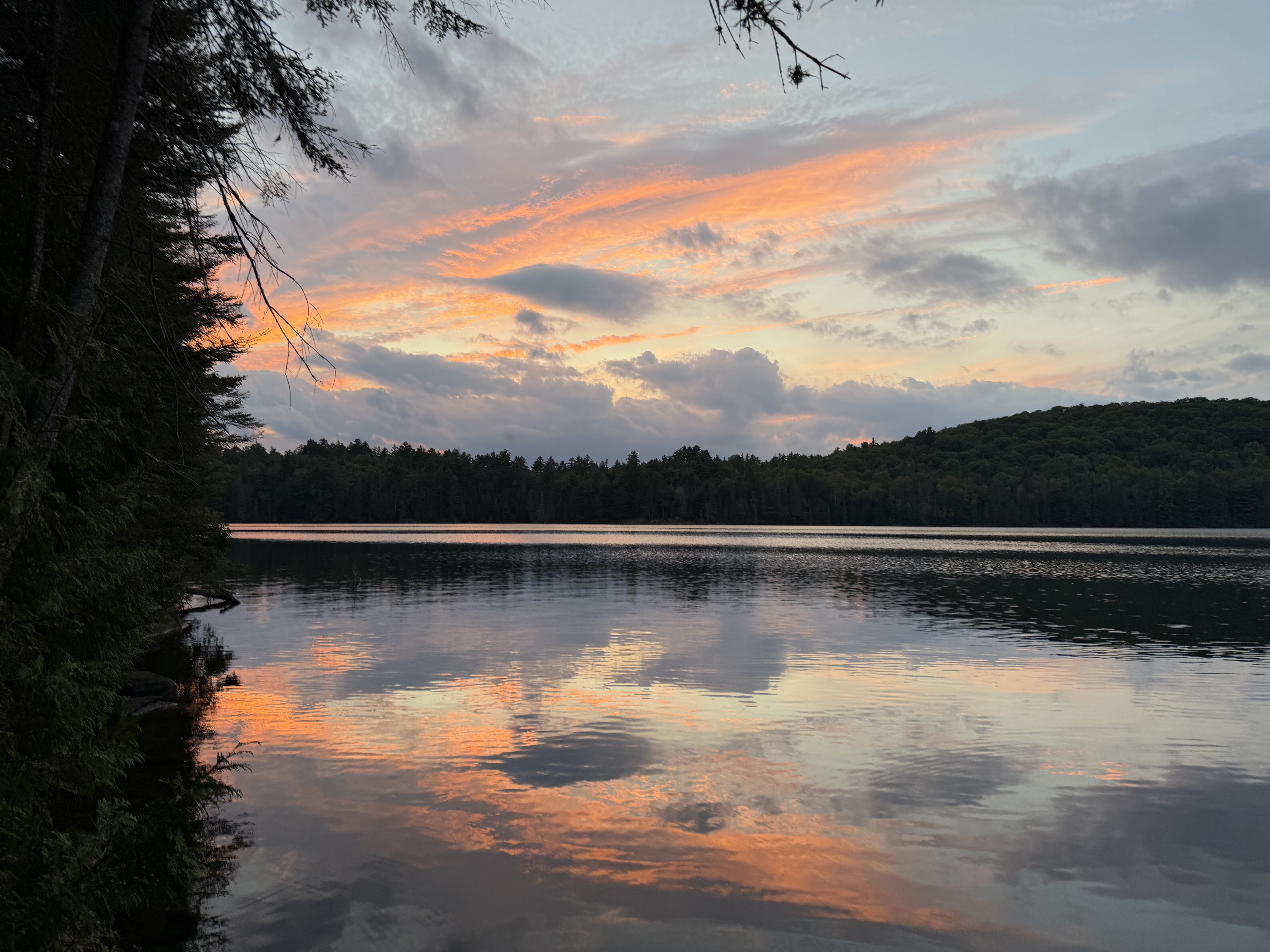
We caught a lovely sunset, and I took a refreshing dip in the lake before dark.
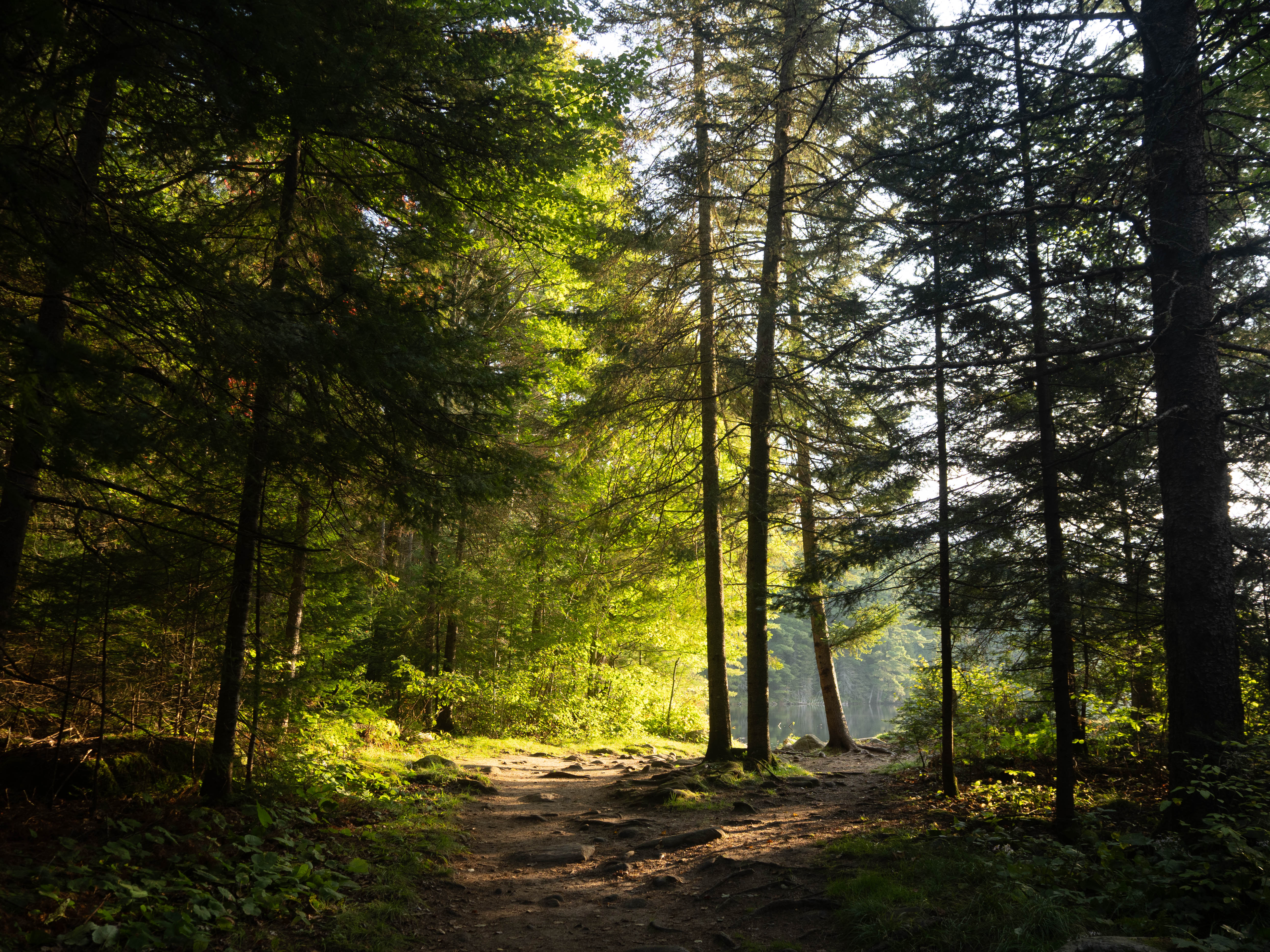
Day 3: The loop home. It was a short hop from site 35 to the outlet end of Burnt Island, where we took the short 200 m portage into Baby Joe Lake. It was a quick hop through Baby Joe, then a longer 430 m portage down to a small river. The river was genuinely fun — serene and relaxing, drafting along with the current until it delivered us to the mouth of — appropriately enough — Joe Lake.


From there we retraced our Day 1 route in reverse: paddling south down Joe Lake past the very large Camp Arowhon (expect some activity if camp is in session), over the dam portage, and then south down Canoe Lake past the cottages to the access point.

We were back in the car just before noon, grateful for a weekend of great weather and no storms, and most importantly, in time for the traditional Kawartha ice cream at the rental building.


